
 |
Remote Sensing, Natural hazards and Environmental ChangeÉdité par A. Gupta, S. C. Liew, Jean-Claude Thouret |
|
|
:: Résumé
:: Détails
| ||
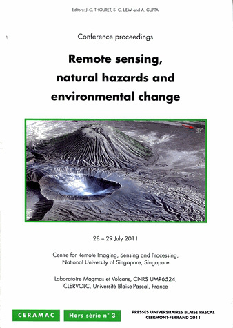
Scientists use remote sensing to observe, analyze and unravel changes on the surface of the Earth. The récent arrival of a new generation of satellites (IKONOS, GEOEYE, WORLDVIEW) with extremely high resolution has improved our ability to study hazardous phenomena such as volcanic eruptions, earthquakes, tsunamis and large floods. Remote sensing is also an efficient tool for investigating the effects of anthropogenic changes including climate change. Hazardous phenomena and anthropogenic changes are common in South-East Asia and studies from the region formed the core of the international conference on 'Remote Sensing, Natural Hazards and Environmental Change'. The conference was organized on 28 and 29 July 2011 in Singapore by CRISP, National University of Singapore and Laboratoire Magmas et Volcans (CNRS UMR6524), CLERVOLC, Université Blaise Pascal (Clermont-Ferrand, France). It was part of the ICT- STIC Asia research and exchange program sponsored by the French Foreign Ministry in South-East Asia.
Titre
Remote Sensing, Natural hazards and Environmental Change
Édition
Première édition
Édité par
A. Gupta, S. C. Liew, Jean-Claude Thouret
Collection
CERAMAC
ISSN
12427780
Langue
anglais
Éditeur
Presses universitaires Blaise Pascal, Clermont-Ferrand
CLIL (Version 2013-2019 )
3080 SCIENCES HUMAINES ET SOCIALES, LETTRES
Description public visé
Spécialistes en géomorphologie, intéressés par les risques naturels
Date de première publication du titre
01 janvier 2012
Code Identifiant de classement sujet
93 Classification thématique Thema: J
Support
Livre broché
ISBN-10
2845165544
ISBN-13
978-2-84516-554-0
GTIN13 (EAN13)
9782845165540
Référence
115296-37
Date de publication
01 janvier 2012
Nombre de pages de contenu principal 98
Illustrations
cartes
figures
Format
21 x 29,7 x 0,5 cm
Poids
383 gr
Prix
12,00 €
|
||
| 115296-37 | ||